The Department of Environment and Natural Resources (DENR) has warned the government against reclamation projects in Manila Bay, citing several concerns like flood management, traffic, water and electricity supply, waste management, and the livelihood of fishermen in the area.
In an interview on PTV’s Bagong Pilipinas Ngayon, DENR Secretary Maria Antonia Yulo-Loyzaga said on Thursday, February 20, that many of the reclamation projects in Manila Bay are not integrated into the flood management plans of the local government units surrounding the area.
“Ang nakikita po namin ngayon sa mga ilan, at majority actually ng mga sinubmit for development sa reclamation ay wala po silang integration into the flood management plan for the different LGUs. Importante ho ‘yan,” she said in the interview.
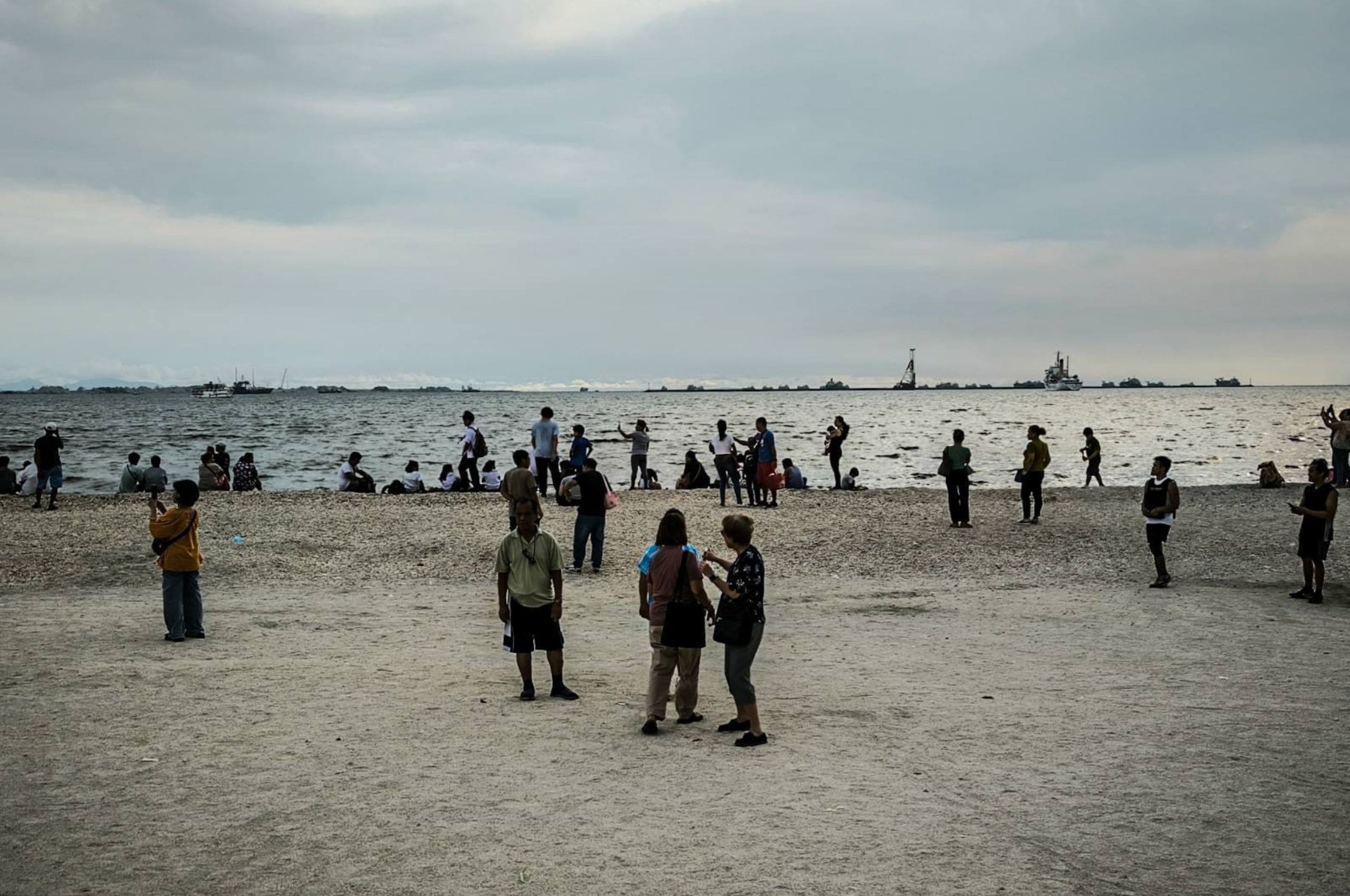
Spanning almost 2,000 square kilometers, the Manila Bay area covers Metro Manila and eight provinces. Four of these are located along the coast, namely Bataan, Bulacan, Cavite, and Pampanga.
Laguna, Nueva Ecija, Rizal, and Tarlac are connected to the bay through the several river systems that drain into it, like the Pampanga River (from Nueva Ecija), Pasig River (from Rizal), and Zapote River (from Laguna).
Yulo-Loyzaga cited a recently completed cumulative impact assessment by the University of the Philippines Marine Science Institute and the Marine Environment and Resources Foundation (MERF), which aimed to determine the environmental effects of reclamation in Manila Bay, surrounding areas and concerned sectors. The study was commissioned by the DENR in 2023 after President Ferdinand Marcos Jr. suspended reclamation projects.
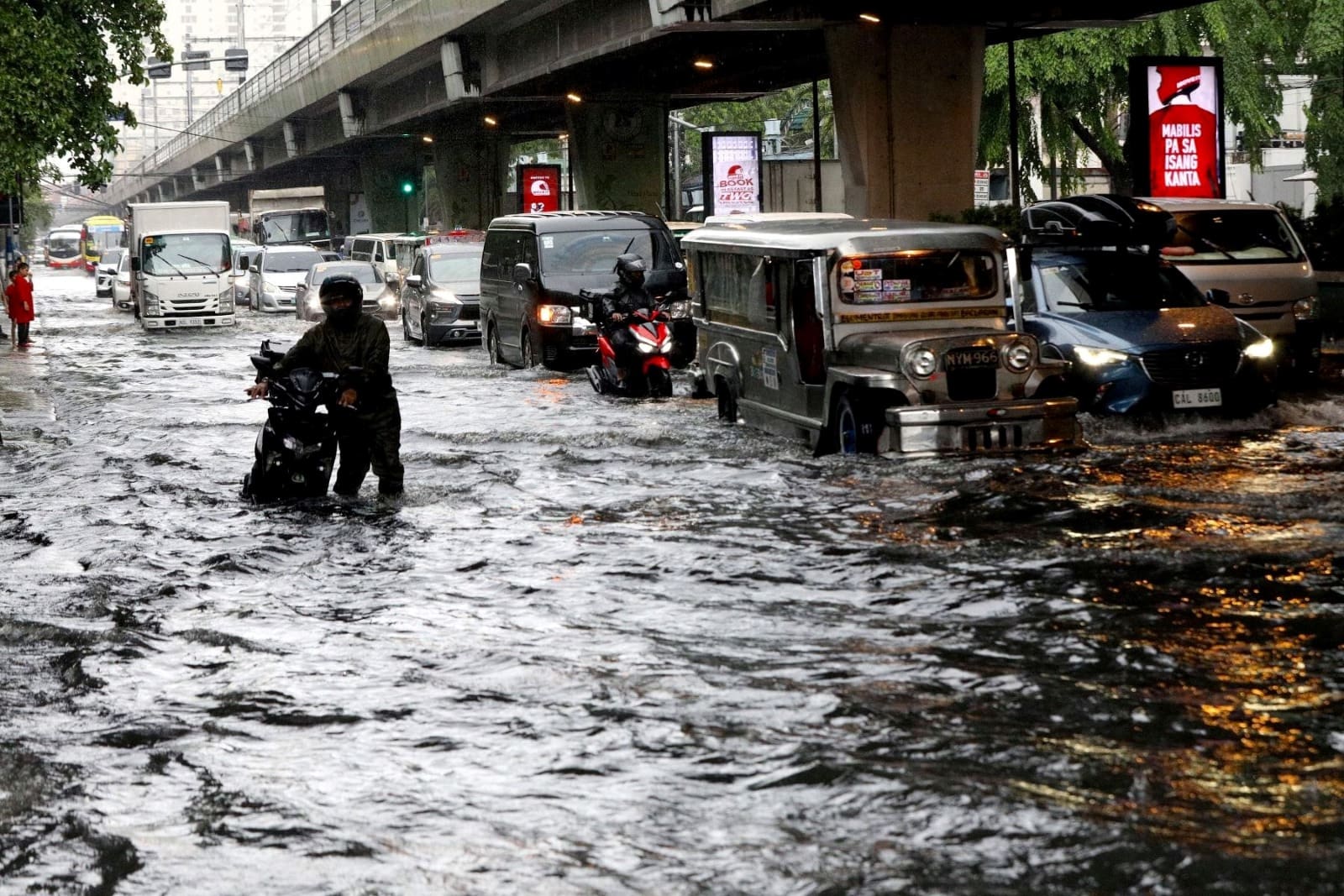
According to Yulo-Loyzaga, the study confirms that Manila Bay’s physical environment is crucial to the circulation and drainage of water in Metro Manila. “We cannot move forward kung alam po natin na masa-stuck po ‘yong tubig paglabas o pag-agos from our rivers and from inland dito sa harap ng Manila Bay,” she said.
Aside from other issues such as traffic management, water and electricity, and solid waste management, the fisheries sector will also be impacted by the reclamation projects.
“May mga madi-displace po at kailangan po may sagot din ang mga developer at mga LGU na partner nila kung papaano nila talaga pangangalagaan ang kapakanan ng mga communities na talagang ang hanapbuhay po nila ay nandidiyan,” Yulo-Loyzaga said.
She added that the cumulative impact assessment also has a “direct bearing on the mandamus” issued by the Supreme Court (SC) in 2008, which directed the DENR and 12 other government agencies to bring Manila Bay’s waters to levels safe enough for swimming and restore its biodiversity.
The SC’s mandamus also ordered the dismantling of illegal structures along waterways and esteros connected to the bay.